Tailored cloud solutions for secure decision making

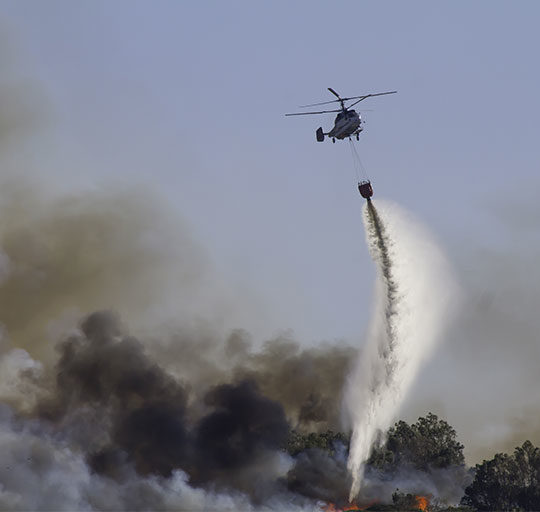
Emergency management
Solutions that help large-scale emergency operations have a global vision and get ahead of the problem. Our users, such as the Xunta de Galicia, manage forest fires and maintain control of the situation by knowing, at all times, the location of each of the resources that help extinguish the flames. They can also monitor and represent the whole territory on the map, helping to save lives, property and the environment.
Real-time data integration
A solution focused on simplifying processes in highly complex situations
Decision making based on analysis and forecasts

Traffic and mobility
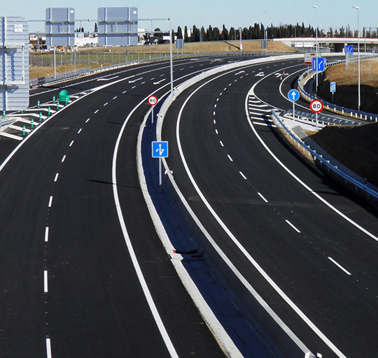
Intelligence and precise localization to understand the phenomena that affect mobility; our services help predict the effect of major snowstorms or create safe and sustainable urban spaces for pedestrians and vehicles.
Management of navigable networks
Processing of large volumes of data
Tailor-made solutions for circulation management

Forecasting and meteorology
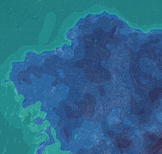
Our platform, Weather Map Site, enables you to track the evolution of over 100 meteorological variables in real-time, both short and long-term, for any location in the world. It doesn’t matter if you're not an expert in meteorology; thanks to the integration of GIS technology, you can easily visualize the impact of meteorology on professional sectors such as energy and utilities, emergencies, traffic, insurance, and many others.
Enhanced forecasting based on high-resolution modeling
Customized products with enhanced forecasting models
Weather and climate reports

Location Intelligence
Our GIS solutions help managers and technicians in many fields, urban planners keep their information updated and extract data in a simple fashion. Civil engineers use GIS tools to follow the inspection of infrastructures, the DGT calculates routes for special transports throughout its road network, ornithologists study the migratory behavior of birds from Northern Europe to Southern Africa...
We provide geographical information intelligence
Integrated solutions and spatial data processing services
We simplify the capture and processing of spatial data


