Reinforcing Galician forest protection plans with GIS technology
land plots managed from Xesbio
hectares under supervision
documents generated on the platform

Xunta de Galicia needed to integrate into a single platform the location of the boundaries of each plot and the different strips to be managed, as well as the status of the clearing tasks. By doing so, it sought to maximize the protection of the Galician forest while minimizing the likelihood of fire outbreaks.
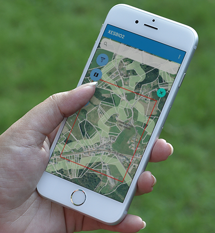
To achieve this goal, Vexiza has developed Xesbio, a suite of tools based on Esri GIS technology, which allows operators from Empresa Pública de Servizos Agrarios Galegos (SEAGA) and municipal staff to upload images of the condition of conservation and the results of their inspections from their mobile phones. Additionally, since the forest areas have limited coverage, it is possible to work offline. Once the connection is restored, all the information will be synchronized.
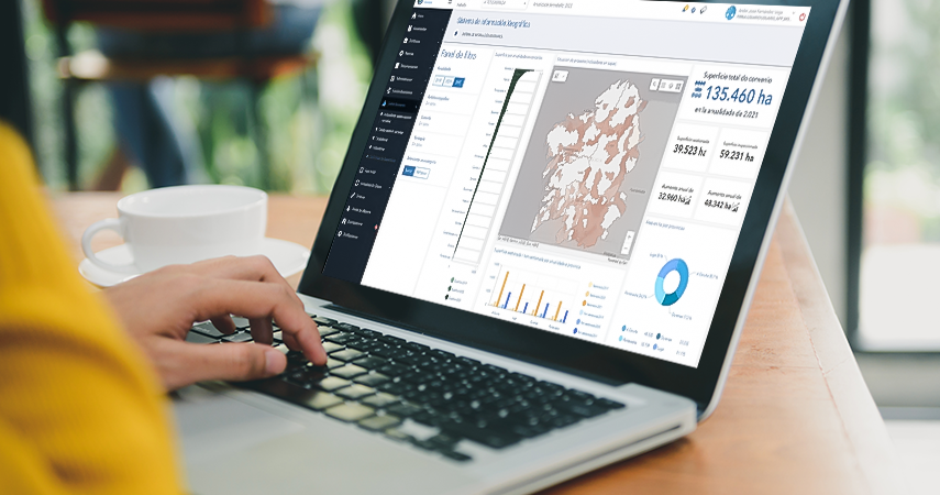
On its part, Xunta monitors more than 2 million affected plots using the web application, where they can filter lands according to the municipality, province or parish to which they belong. Its technicians can visualize with different color codes the status of forest biomass management, as well as consult the total number of pending or executed inspections and cleaning tasks.
In addition, thanks to the inclusion of updated Catastro and INE data, it is possible to obtain information about the owner of each plot directly from the map. Through the integration of the Autofirm@ and Notifica.gal APIs, users can also create documents for notification and electronic signature directly from the platform or download them in PDF format, simplifying administration management tasks as much as possible.
If you want to know more about how Vexiza can help you developing any kind of prooject based on geospatial intelligence, please contact us.


Technologies and technical details
VueJS
Python