Modernizing the management of agricultural land recovery instruments for the Xunta de Galicia
abandoned hectares in Galicia
plots of land recovered
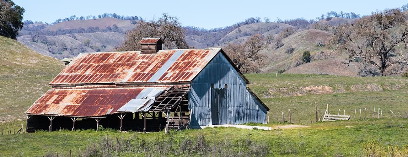
Among the main barriers to reorganize the Galician rural environment is the fragmented ownership of land, which further complicates the task of locating its owners, a task that has previously been performed manually.
In order to recover the economic activity and stop the depopulation trends, Xunta de Galicia and AGADER (Axencia Galega de Desenvolvemento Rural) rely on the TERREC platform, developed by Vexiza. In it, the administration can make massive data queries about the plots and their owners, thanks to Catastro and INE data integration.
With TERREC, Xunta’s technicians have adopted more efficient workflows, unifying in a single platform both the monitoring of the recovery tasks, which they previously did in Excel format, and the plots of land visualization, for which they had an external tool based on ArcGis without the possibility of integration. In this way, they can now consult from the same dashboard the perimeters of action, set actions for specific areas and upload the documentation linked to each instrument, achieving the best possible traceability in their interventions.
Consequently, the Xunta de Galicia has saved a considerable amount of time and effort by putting landowners in contact with farmers and ranchers who are interested in their farms, thereby reviving agricultural activity in the region and reducing fire risks through the rehabilitation of productive land.
If you want to know more about how Vexiza can help you to integrate the visualization of any kind of data on maps to process information more easily, contact us.


Technologies and technical details
ArcGIS Maps SDK for JavaScript