We were able to provide firefighting technicians with a 360º real-time view of the emergency at the most critical moments
coverage of the video surveillance network
resources geolocated in real time
fires handled in 2019
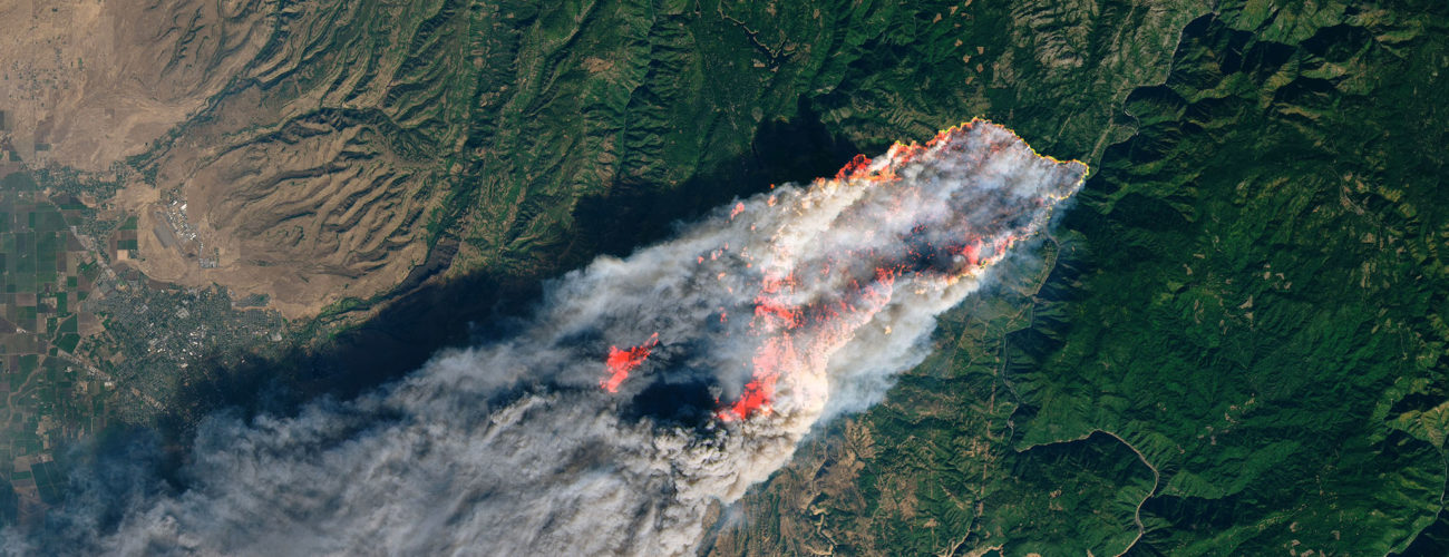
Since 2016 Vexiza has helped manage and evolve the fire management system of the Forest Fire Prevention and Defense Service (SPDIF) of the Xunta de Galicia, the most significant in terms of the number of resources mobilized in each campaign, supporting complex situations in which the concurrence of events is one of the great challenges to be solved.
Thanks to the integrations made by Vexiza, the video surveillance network, which covers more than 60% of Galician territory, can be managed easily from XenoCode, allowing the identification of points in a camera image on a map.
Recently, important functionalities have been incorporated, such as the mobile application XenoCode Lite, which allows for the designing of the operative map in an agile way, indicating the meeting points, the fire breaks to be made, the routes followed by the fire, the provisional perimeters, etc. Media have also reported on this new app. Media have also reported on this new app.
In real time, all the information is shared with the rest of the resources deployed in the territory
Xunta de Galicia


Technologies and technical details
ArcGIS Runtime API for Android
ArcGIS Enterprise
.NET
VueJS
Python