Municipal Management Plan with GIS solutions in the cloud

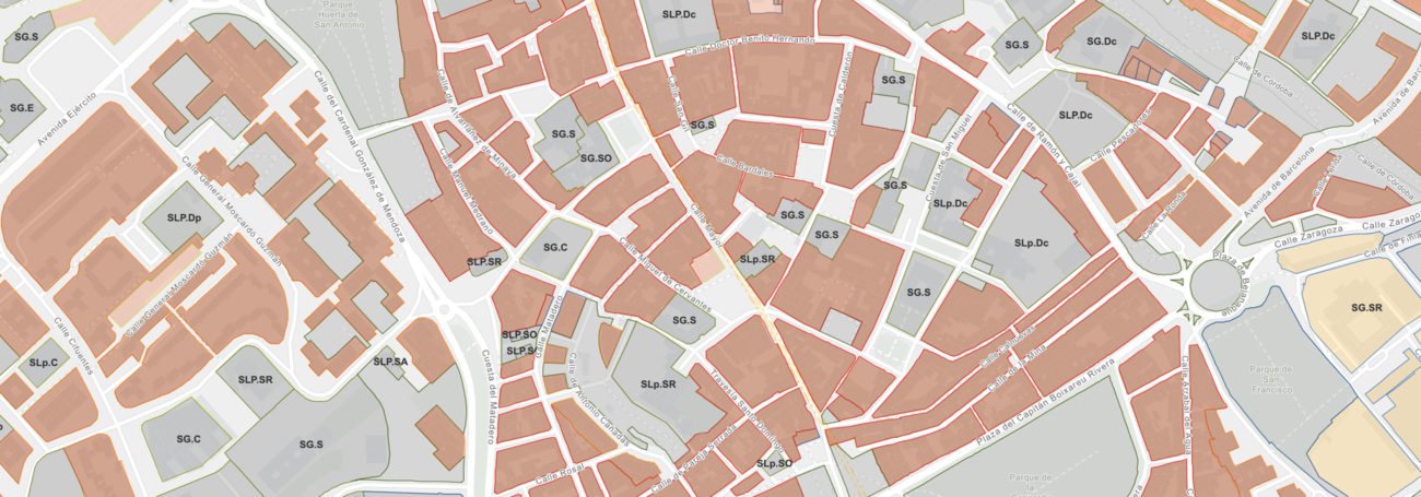
urbanas plots
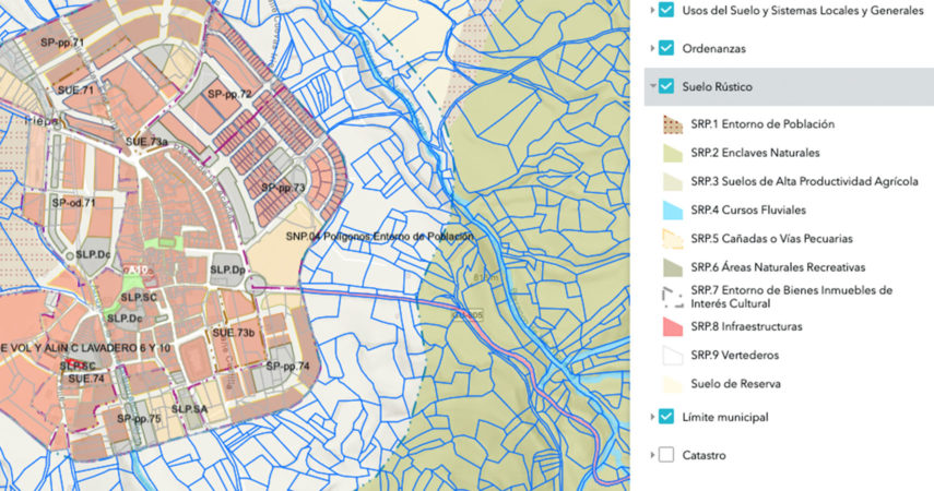
rural plots

Both managers and technicians obtained a clear benefit in being able to access the POM through a GIS environment in the cloud, ArcGIS Online, which allows them to consume this information easily.
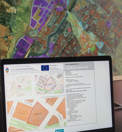
One of the many project services that saved time and municipal resources was the generation of the Urban Planning Permission Certificate of each of the land/cadastral parcels through a web application. We automated and simplified the way in which technicians can generate these Urban Planning Permission documents.
The development of viewers with ArcGIS Web AppBuilder also allowed a rapid deployment of customized portals which are tailored to the needs of the city hall.
The opportunity to meet with Vexiza, a young, dynamic and professional company, has meant for this city hall a new way to manage the spatial awareness tasks in the municipal day-to-day work.
Francisco Maza
Geodesy and Cartography Engineer, Cartography Section, Guadalajara City Hall


Technologies and technical details
ArcGIS Online
ArcGIS Web AppBuilder
Python
VueJS