Advanced Forest Video Surveillance Systems to Combat Wildfires
Enhancing Real-Time Surveillance of Forest Areas with GIS
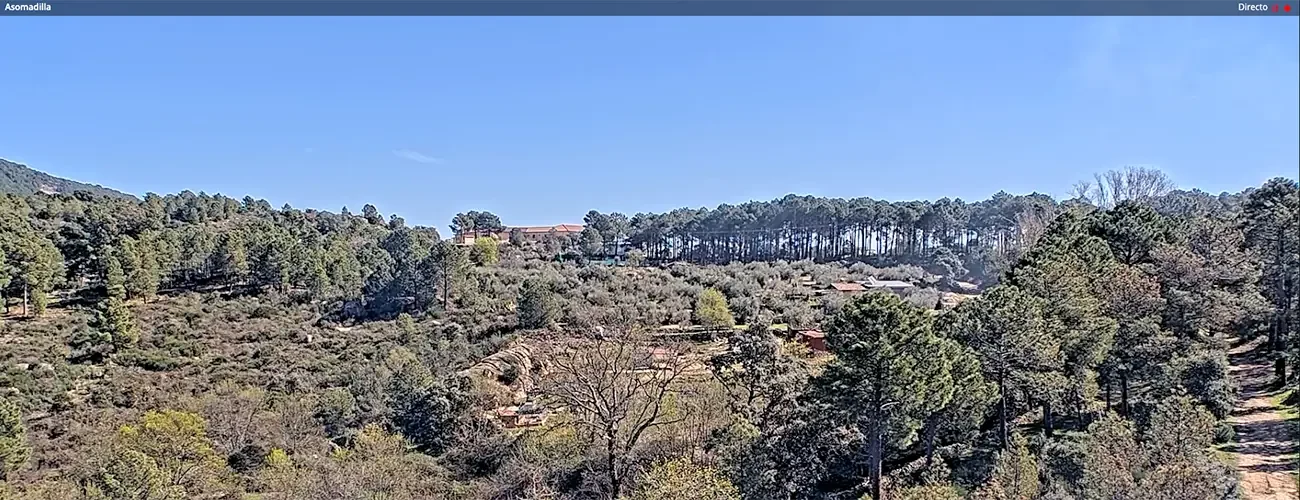
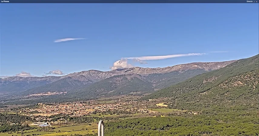
To take our integrated wildfire management systems a step further, we have successfully integrated video cameras from regions such as Castilla y León or La Rioja into their GIS Emergency systems, equipping them with capabilities that allow for a more rapid and accurate emergency reaction.
Among these new features, apart from real-time access to all cameras in the network and the ability to rotate them directly from the application, by clicking on any part of the real time footage now users are able to see the coordinates of that precise spot.
Optimization of Wildfire Response with Forest Surveillance Cameras
With the aid of these coordinates, when smoke or a fire is identified by a camera, response units can be accurately guided to the area, achieving thus a quicker and more targeted intervention, a key factor in the initial stages of a forest fire.
This new capacity for dynamic fire monitoring and real-time strategy adjustment is key in environments with rapidly changing conditions. This approach not only boosts the safety of firefighters in the field but also streamlines the allocation of resources and efforts.
Operational agility offers advantages not just in the initial firefighting efforts but also enhances communication and coordination with local authorities, enabling them to provide more accurate information to the population of nearby areas and detect easier the best potential evacuation routes.
Smart Video Monitoring for a Better Understanding of Wildfires
This technology’s benefits extends even beyond after controlling the forest fire. With this access to extra information on the critical points that unleashed the wildfire, experts gain a deeper understanding of the fire’s causes and behavior, essential knowledge for preventing similar emergencies.
Adding advanced intelligence capabilities to video cameras and making their integration into geographic information systems easier opens up a wide array of possibilities for improving decision-making when the precision and a quick availability of information are essential.
Technologies and technical details
.NET
Milestone XProtect