Soluciones cloud a medida para una toma de decisiones segura

Gestión de la emergencia
Soluciones que ayudan a grandes operativos de emergencias a tener un visión global y adelantarse al problema. Nuestros usuarios, como la Xunta de Galicia, gestionan incendios forestales y mantienen el control de la situación conociendo la ubicación en todo momento de cada uno de los recursos que ayudan a extinguir las llamas. También pueden vigilar y representar sobre el mapa todo el territorio, ayudando a salvar vidas, bienes y el medio ambiente.
Integración de datos en tiempo real
Enfocados en simplificar procesos en situaciones de alta complejidad
Toma de decisiones basadas en análisis y predicciones


Tráfico y movilidad
Inteligencia y localización precisa para entender los fenómenos que afectan a la movilidad, nuestros servicios ayudan predecir el efecto de grandes tormentas de nieve o crear espacios urbanos seguros y sostenibles para peatones y vehículos.
Gestión de redes navegables
Tratamiento de grandes volúmenes de datos
Soluciones a medida para la gestión de la movilidad


Meteorología y clima
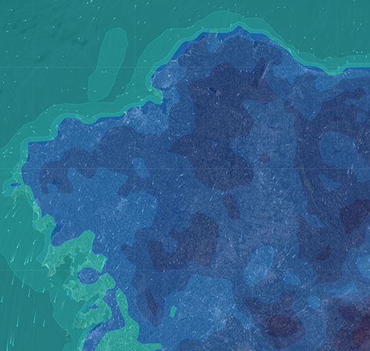
Nuestra herramienta Weather Map Site te permite conocer la evolución de más de 100 variables meteorológicas, tanto en tiempo real como a corto y largo plazo, en cualquier lugar del mundo. No importa que no seas un experto en meteorología: gracias a la integración con la tecnología GIS, podrás visualizar fácilmente y de forma dinámica el impacto de la meteorología en sectores profesionales como el energético, emergencias, tráfico o aseguradoras, entre otros muchos.
Predicción mejorada basada en modelos de alta resolución
Productos personalizados con modelos de predicción mejorados
Informes meteorológicos y climatológicos


Location Intelligence
Nuestras soluciones GIS ayudan a gestores y técnicos de muchos ámbitos, técnicos urbanistas mantienen su información actualizada y extraen datos de una manera simple, ingenieros civiles usan herramientas GIS para seguir la inspección de las infraestructuras, la DGT calcula rutas para transportes especiales por toda su red de carreteras, ornitólogos estudian el comportamiento migratorio de las aves desde el norte de Europa hasta el sur de África...
Aportamos inteligencia sobre información geográfica
Soluciones integradas y servicios de procesamiento espacial
Simplificamos la captura y procesamiento de los datos espaciales


