We approach each project as a unique challenge with the goal of building a robust tool that allows our clients to manage their responsibilities with the utmost security.
Dynamic and eager people, who know how to adapt their knowledge to the client's needs.
Fèlix Escalas
TIC Coordinator, SIG-TIC Unit, SITIBSA
Vexiza selected for SPACE4Cities!
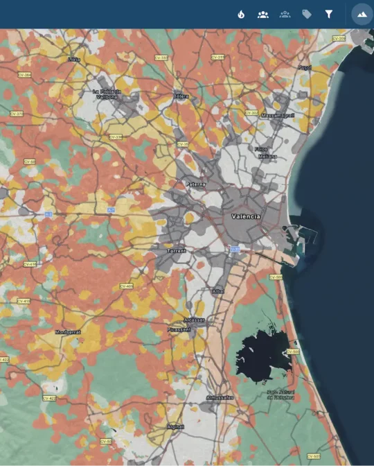
A tool to visualize wildfire risk in the wildland–urban interface using satellite data
See case studySupercomputing and Machine Learning against wildfires
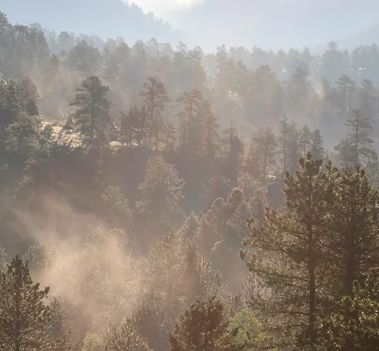
The LUSITANIA supercomputer optimizes wildfire prevention and the intelligent allocation of resources during emergencies
See case studyWeather Predictions for Enhancing Wind Farm Efficiency
By analyzing meteorological data, we predict the production of each turbine in a wind farm to ensure maximum operability
See case studyEmpowering the Analysis of Insights into Wildfires
Discover Firemap, an open-source platform for the scientific analysis of the aftermath of a forest fire
See case studyAssessing Deforestation with GIS
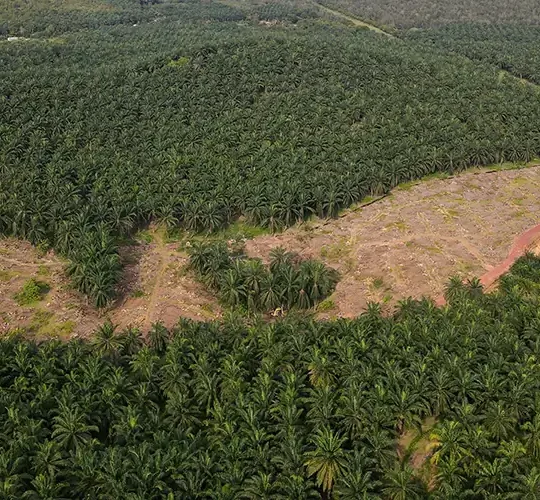
Using GIS, we analyze deforestation risk to identify spatial patterns related to the potential loss of forests.
See case studyGeospatial Data for Disaster Readiness
Examining the link between natural disasters and territory through geographic data analysis
See case study


