In such an extensive road network, knowing the spatial awareness patterns is key to decision making
Using GIS technology, we help with decision making in highly complex situations
Want to work together?
Get in touch!
Want to work together?
Get in touch!
0
M
long-distance trips (2019)
0
kilometers analyzed
0
Accidents handled in 2019
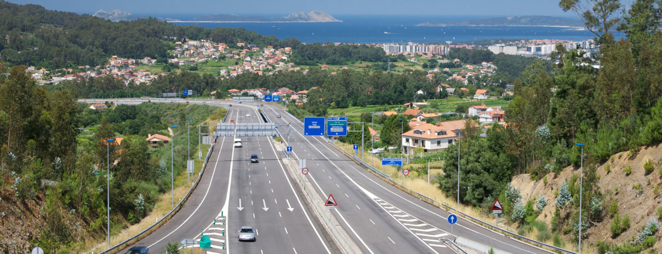
We lead the strategic decisions in the approach of the GIS services architecture for the General Directorate of Traffic (DGT), along with the evaluation and proposal of technological architectures, the analysis and support in the implementation of European and International strategies in the field of spatial data management and the reuse of public sector information.
Through our solutions we enable the DGT to locate any element of interest accurately in a network of more than 380,000 km. In this environment we have developed new functionalities, geolocation services, corporate viewers, ad-hoc viewers, and the DGT Mobility Map within the DGT National Access Point and Mobility.
We make it possible for the DGT to locate any element of interest in a precise way
The management of our resources from a spatial awareness perspective allows us to optimize the best use of our resources
DGT


Technologies and technical details:
ArcGIS Runtime API for .NET
ArcGIS Runtime API for Android
ArcGIS Enterprise
.NET
VueJS
Python