Vexiza selected for SPACE4Cities!
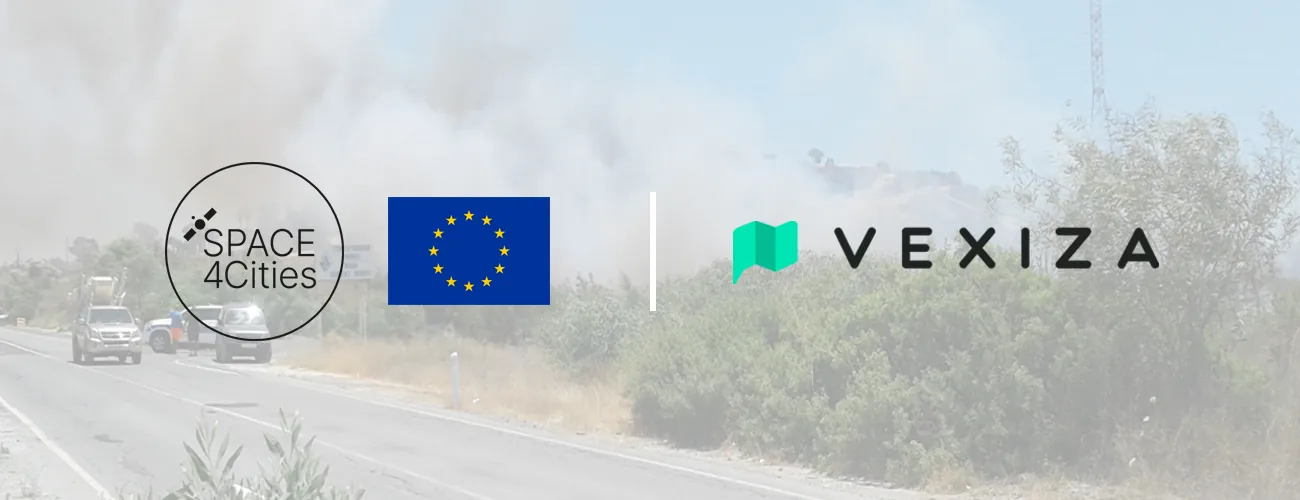
This recognition places our solution among the most promising in the continent for helping local governments tackle urban challenges through the use of satellite data from the EU space program.
What is AI-WUIFIRE?
AI-WUIFIRE is an innovative solution that leverages AI, satellite imagery, and remote sensing to predict both the probability and severity of wildfires in areas close to cities.
These are often populated areas or host recreational facilities such as stadiums or shopping centers. With rising temperatures linked to climate change, cities throughout Europe, especially in countries like Portugal and Greece, have seen a surge in wildfire-related disasters.
Through AI algorithms trained with data from Copernicus Emergency Management or Sentinel-2 and Sentinel-1, AI-WUIFIRE empowers city councils and emergency services to pinpoint critical risk areas and thereby:
- Take into account the potential for wildfires when granting permits for for housing, retail, or other public facilities.
- Guide city development toward safer areas by mapping regions with lower wildfire vulnerability.
- Adapt urban landscaping by reducing fire-prone vegetation and promoting other species.
Multi-emergency GIS management in urban areas
For local governments, satellite data can be difficult to interpret on the daily basis. AI-WUIFIRE addresses this by placing maps at the core of the platform, turning complex data into clear, interactive GIS visualizations.
Built on Vexiza’s proven track record, AI-WUIFIRE will also feature multi-emergency management tools tailored to the needs of civil protection services and complex urban settings.
Beyond predicting the likelihood and intensity of wildfires, the platform will support critical infrastructure mapping, management of operational plans, and real-time monitoring of emergency teams, so that everything is in place should a crisis arise.
Discover more about AI-WUIFIRE and explore other innovative European projects in the SPACE4Cities innovation catalogue.
.