FLAMA: Driving a new era of wildfire management in Aragon

Through this solution, INFOAR, Gobierno de Aragon’s wildfire prevention and suppression service, aims to enhance coordination and respond faster and more efficiently to any forest-related incident.
Led by the Departamento de Medio Ambiente y Turismo de Aragón, FLAMA brings together in a single environment all key data sources, including cartography, meteorology, and personnel management, which were previously dispersed across multiple tools. This integration enables a unified and comprehensive view of all INFOAR operations.
All emergency information, on the map
Following the line of other wildfire management applications developed by Vexiza, FLAMA enables real-time monitoring of all active forest emergencies, with a strong focus on map-based visualization.
From the command and coordination center, technical teams can quickly access information about available and deployed resources, including their exact location. The platform also integrates decision-support capabilities, such as resource recommendations based on criteria like distance to the incident or current availability.
Real-time data integration goes beyond GPS tracking of internal resources. The system also supports live video streaming from cameras installed on aerial units. Combined with the mobile version, FLAMA Lite, these features provide a detailed and up-to-date view of operations from any perspective, at any time.
In addition, the platform includes alert systems, such as sound notifications for newly reported incidents, ensuring immediate response from control room teams.

End-to-end coordination of INFOAR operations
Beyond real-time emergency management, FLAMA offers a full set of modules designed for the comprehensive coordination of INFOAR activities.
A cost management module automatically estimates the economic impact of each operation based on the resources involved, supporting budget control and post-incident analysis. This is complemented by a reporting repository that ensures proper storage, traceability, and easy access to all documentation generated during an incident, including fire perimeters, operational roles, and team assignments. The platform also simplifies data export to the Estadística General de Incendios Forestales (EGIF), the official source used by the Gobierno de España for wildfire analysis.
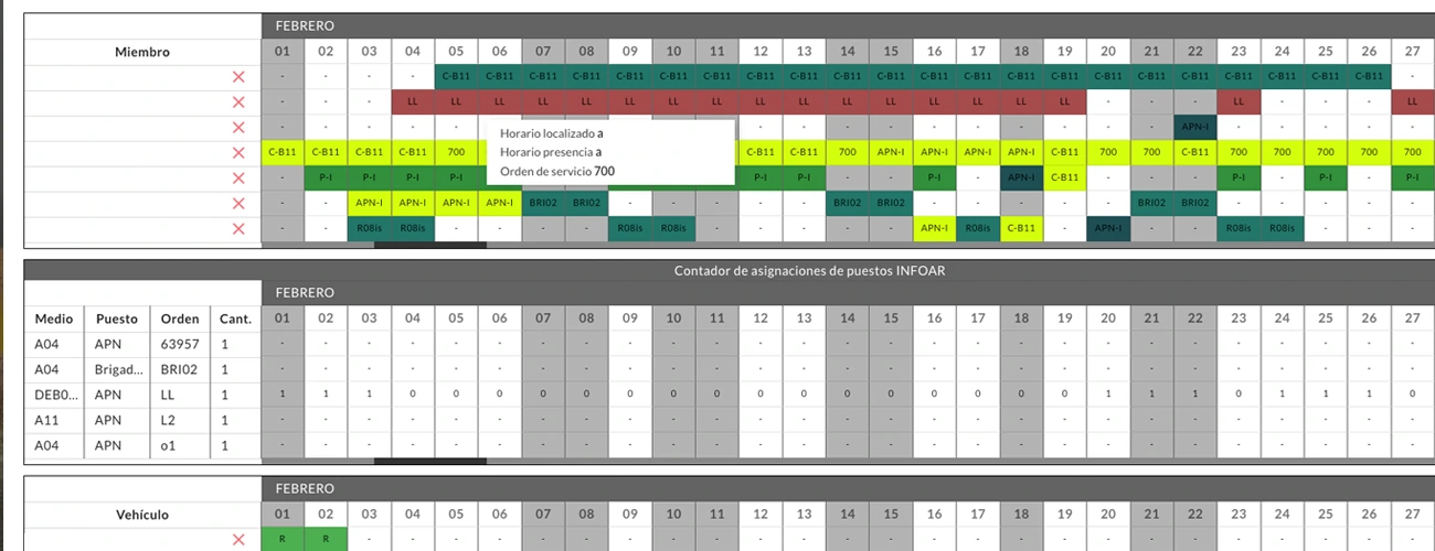
In terms of prevention, FLAMA enables the planning and monitoring of key tasks such as the creation of defense areas or improvements in road accessibility, helping ensure readiness before risks materialize. It also integrates tools for managing schedules, shifts, and contact information, centralizing workforce organization within a single platform.
Furthermore, FLAMA is designed to facilitate collaboration with external agencies involved in operations, allowing controlled access for organizations such as emergency call centers (112), the Ministerio, or the Unidad Militar de Emergencias (UME).
Comprehensive analysis of meteorological conditions
Understanding weather conditions around a wildfire is key to anticipate its behavior and identify high-risk areas. FLAMA addresses this need by integrating all meteorological data into a GIS-based environment, making analysis more intuitive and context-driven.
Without losing the map reference, users can simultaneously review visual tools such as meteograms, which provide forecasts of key weather variables, especially those that directly influence fire behavior.
The platform also incorporates real-time data from meteorological stations, including major networks such as those managed by the Confederación Hidrográfica del Ebro or the Confederación Hidrográfica del Júcar. This information is enriched with the latest lightning strike data, helping detect potential ignition points caused by lightning, one of the main natural sources of wildfires.
Additionally, FLAMA includes wildfire risk indicators that allow continuous risk assessment, as well as fire-spread simulators to support predictive analysis.
Overall, FLAMA represents a major improvement in wildfire management in Aragon, bringing together all the necessary information to anticipate, coordinate, and respond more effectively to any wildfire scenario.
