We make fire management information more straightforward and unified
We assist in planning the entire operation of both aerial and ground resources through a user-friendly solution
People for Prevention and Fire Management
GPS devices
geolocations

Designed for small and medium-sized firefighting operations, this web solution, that also features an Android mobile app for real-time ground resource geopositioning, offers a spatial overview of emergencies and facilitates seamless communication between different operational units.
As a Software as a Service (SaaS) solution, we offer the advantages of cloud-based architectures, including scalability, security, complete availability, and, above all, simplified deployment, leading to cost savings in both software and infrastructure maintenance.
Just as in all of our projects, spatial aspects are of utmost importance, and we provide users with state-of-the-art web GIS tools to enhance their comprehension of the situation and to facilitate operational planning on the map. Additionally, this allows for real-time sharing through bots, like the one used for sending information in real-time via Telegram, as well as automation based on resource positions.
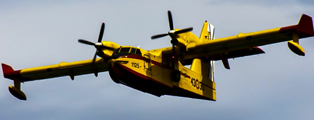
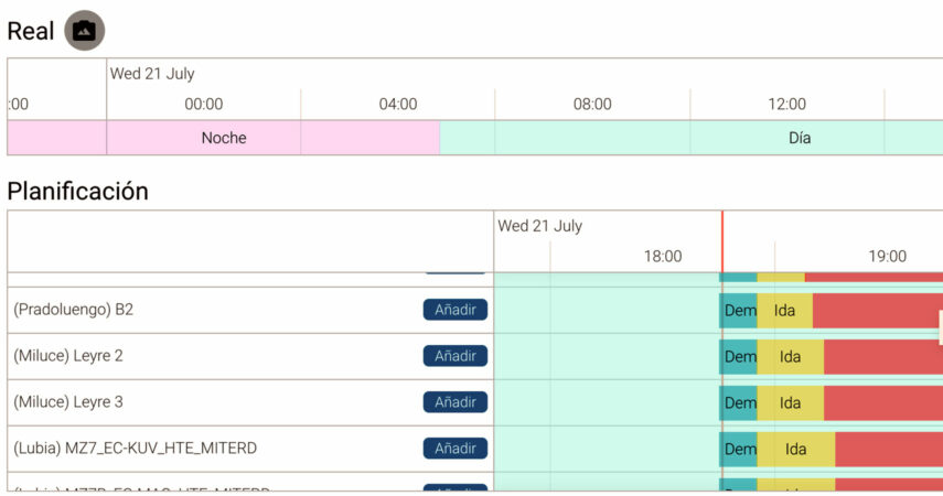
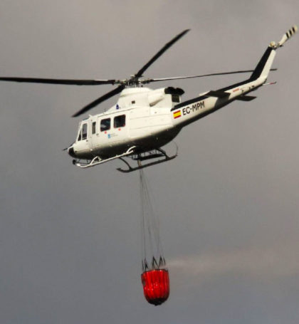
One of the key advantages of Wil.dfi.re is the ability to plan the temporal deployment of aerial and ground resources based on regulatory guidelines, enabling the safe and efficient utilization of these resources for firefighting.
Now we have a comprehensive overview of any emergency for enhanced management
Gobierno de La Rioja


Technologies and technical details
ArcGIS Runtime API for Android
VueJS