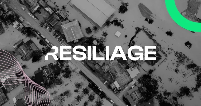
Geospatial Data for Disaster Readiness
Building GIS Tools for the European Resiliage Initiative
This European project aims to promote active collaboration among universities, governments, and companies to identify the main areas for improvement in risk preparedness and the ability to resist disasters across five different locations.
Using ArcGIS to Assess Resilience and Disaster Exposure
As part of the initiative, Vexiza’s mission is to create digital tools that will allow for the visualization and analysis of data gathered by universities and institutions.
These tools will provide comprehensive insights into the resilience and disaster response capabilities of Crete (Greece) to earthquakes; Naturtejo Geopark (Portugal) to wildfires; Famenne-Ardenne Geopark (Belgium) to floods; the city of Trondheim (Norway) to landslides; and, finally, the Turkish city of Karsiyaka to heatwaves.
On the one hand, the survey developed by Vexiza using ArcGIS Survey helps gather data with a geographic perspective, enabling the understanding of the relationship between natural disasters and the territory, as well as obtaining useful insights through the experiences of emergency services, politicians, and society during these kinds of events.
On the other hand, another crucial task of these digital tools will be to display all the research conducted by academic groups in several ArcGIS Dashboards. This will give us a clearer understanding of the particular needs of each location, not only socioeconomically but also in its cultural, natural, and historical preservation dimensions.
Geographic Information-Based Early Warning Systems
Resiliage, under the coordination of Università Politecnico di Torino, will continue working until 2026 on disaster preparedness, with additional initiatives in the roadmap aimed at understanding disaster risk and promoting response and investment plans to better prepare European society against such threats.
As part of the upcoming projects, Vexiza will work on an early warning system for extreme weather events that may impact the five locations involved in the project, in addition to characterizing the risk using data from past and recent events.
Technologies and Technical Details
ArcGIS Dashboards