Water infrastructure geolocation to facilitate the management of firefighting resources
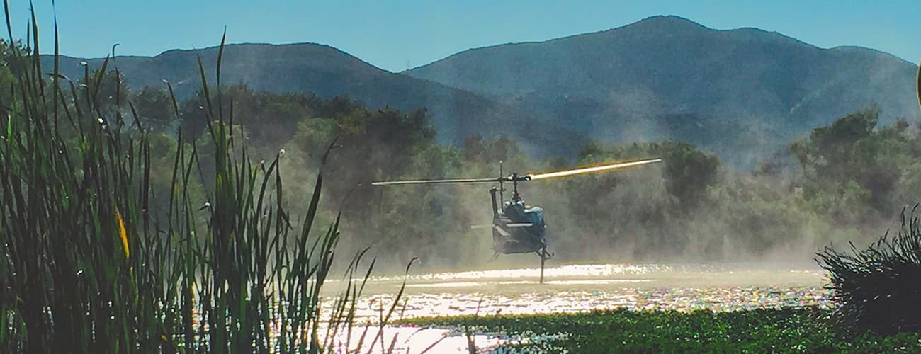
Checking the status and location of water sources in real time simplifies the logistics of fire response.

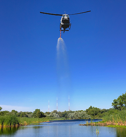
In this context, a system that enables aerial and land emergency forces to pinpoint the exact geolocation of water sources is essential for efficient resource sharing and for reducing fire response times.
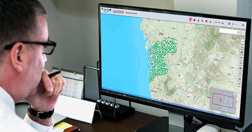
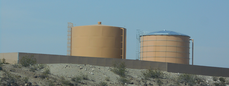
Within the cross-border cooperation framework Interreg Spain-Portugal; Vexiza has developed for Diputación de Pontevedra Interlumes, an integrated information system for management and geolocation of water sources, such as water tanks. Public administrations are now able to monitor all the water storage infrastructures on a single platform, and consult in real-time if they are available in case of an ongoing emergency.
From the platform, any registered user can notify breakdowns, sending automatic alerts to the municipality responsible for maintaining the water tank. In addition, users can manage and register new infrastructures in any municipality in the Pontevedra province. They can also create reports in several formats (PDF and XLS), enhancing the flow of information with the authorities responsible for developing fire suppression plans at the border.
If you want to know more about how we can help you geolocate any type of asset to create comprehensive management platforms like Depointerlumes, please contact us.


Technologies and technical details
ArcGIS Maps SDK for JavaScript
VueJS
NodeJS