Accelerating the inventory of network infrastructures to modernize rural areas

Up to now, regional and local governments, telecom operators and network installers have encountered a number of limitations, including the lack of enough information to assess current services and identify areas for further investment.
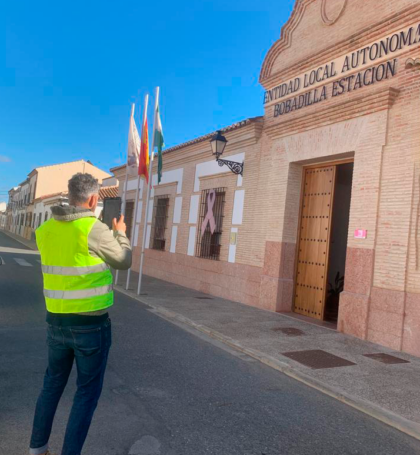
Elecnor, the company responsible for carrying out the telecommunications network inventory in the province of Málaga, needed to speed up the work of its field technicians and accelerate the technological modernization of rural areas. To help them, Vexiza has made a customization on ArcGIS Field Maps, in which their workers can inventory and geolocate manholes, wiring or the current equipment in buildings for public use.
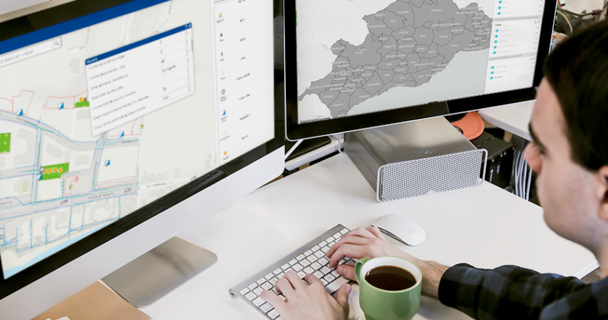
Following that, a control panel allows for the visualization of all infrastructures on a map. Clicking on any of them will allow you to view all the information collected by the field technicians, including the surface suitable for installing new telecommunications, or whether the building is suitable for the installation of new infrastructure on its roof, among other features.
As all the information stored in the app can be exported to CSV or other files, it simplifies the exchange of information between Diputación de Málaga and the operators, providing more effective means for promoting Internet access in rural áreas.
If you are interested in developing any project to improve the management and visualization of information in your organization, please contact us.


Technologies and technical details
ArcGIS Online