Leveraging ArcGIS for Innovative Crop Pest Data Management
Advanced Data Integration for Enhancing Andalusia’s Agricultural Pest Monitoring Systems
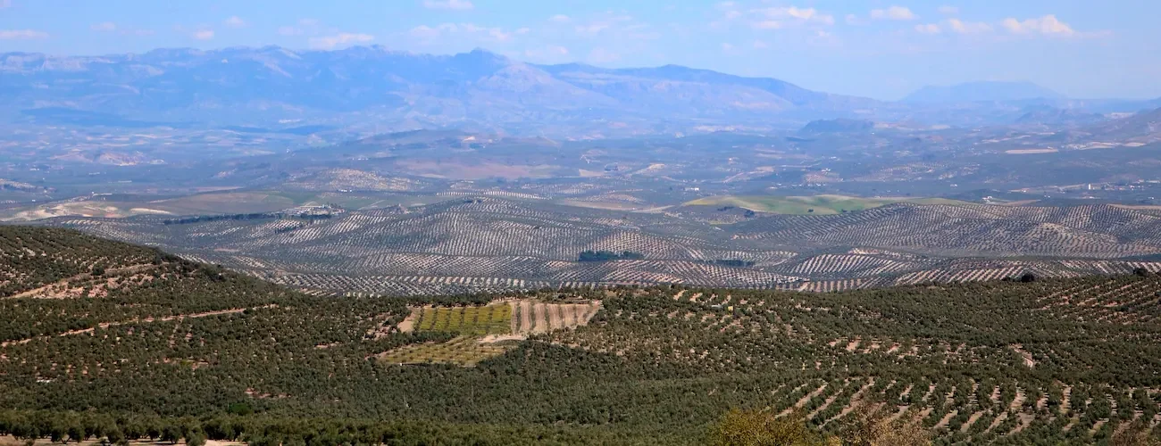
Geospatial Data for Enhancing Biological Pest Control
By enriching the detail level of information that field technicians send to the laboratory, the sample analysis may concentrate on subtle yet significant aspects, crucial for addressing problems in the production process.
The addition of a spatial dimension to this process marks a significant improvement in biological control. By positioning the affected crops,technicians obtain the data required to advise better on treatment locations or areas needing a higher concentration of insect traps to meet control standards.
Enhancing Field-Lab Collaboration Trough ArcGIS
AgroLIMS, the app for the management of public labs of the Council of Agriculture, Livestock, Fisheries, and Sustainable Development of the Andalusian Government, serves as the link between Tragsatec field experts responsible for biological pest management and the lab specialists.
Through integration with ArcGIS Online, we at Vexiza have created the link that connects field-collected data with the lab management ERP, setting up a bidirectional communication to enhance team collaboration.
The addition of a spatial dimension to the data, alongside a continuous and automated flow of information between both tools, enables lab technicians to quickly access more detailed data about the samples.
This approach has led to an improvement in surveillance and control measures, establishing a replicable workflow model for every laboratory across Andalucía, showcasing ArcGIS’s capability to provide extremely reliable data synchronization, even in very diverse work environments.
Such advancements facilitate a quicker intervention when vectors and pests threaten crop health or production, proving that technology is a crucial instrument for enhancing agricultural management.
Interested in making your data accessible and accelerating your project workflows? Check out our contact page to start revolutionizing your data management approach.


Technologies and technical details
Java