Machine Learning and Dashboards to Simplify Decision-Making
The task of data collection becomes key when the objective is to gather information from several locations. In this scenario, efficiently covering the maximum study area presents a significant obstacle when optimizing sensor deployment.
Vexiza is actively engaged in leveraging platform data to facilitate the effortless creation of high-quality information, enabling the development of a data-centric decision-making process.

Project: POLDER “ITEA3 CALL 4 (17020): DISEÑO DE UN SISTEMA INTEGRAL DE INFORMACIÓN GEOGRÁFICA-POLDER”
This project is co-funded by the European Regional Development Fund (ERDF) with the aim of promoting technological development, innovation, and high-quality research.
Open Call: Proyecto de INVESTIGACIÓN Y DESARROLLO – IDI-20200873
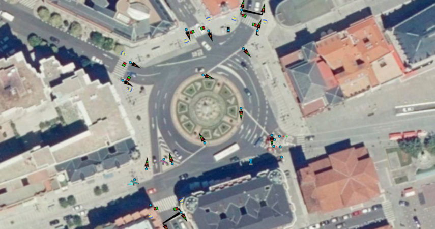
Goal: The primary aim of the POLDER project is to research and develop an innovative Geographical Information System that enables the analysis of geospatial data. This system will facilitate the establishment of geospatial correlations among the data provided by POLDER partners, enhancing decision-making by incorporating visualization tools for data from various domains on a unified screen. Maps are evolving into a powerful tool for visualizing data from different domains, utilizing asset geolocation as a common point of reference.
Timeframe: 20 months (Start date 13/04/2020)
Budget: 301.320,00 €
Funding: 256.044,86 €


Technologies and technical details
Python
ImageAI
ArcGIS javascript
Scikit-learn
Computer vision